This is a SEO version of EAZ PLan. Click here to view full version
« Previous Page Table of Contents Next Page »11 Analyzing Potential for the EAZ
03. ANALYZING POTENTIAL
FOR THE EAZ
The EAZ comprises the western extent of future commercial expansion and outward development for the City of Dublin. Considering the defined area of the Economic Advancement Zone stretching from Shier Rings Road on the south to the SR 161 / Post Road area to the north, Dublin’s adopted Community Plan took a much broader view that extended up the U.S. 33 Corridor. Given the sheer size and scale, the adopted plan created a very generalized framework of land use patterns and schematic road layouts. Additional planning work around the U.S. 33 / SR 161 interchange also centered on specific development proposals that drove surrounding uses, roads and infrastructure. As part of the EAZ, consideration of new development options and the potential to encourage growth beyond the interchange area requires further analysis to identify key opportunities and constraints.
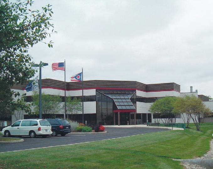
The Nestle facility on Eiterman Road has been a long-standing research facility in the EAZ.
This is a SEO version of EAZ PLan. Click here to view full version
« Previous Page Table of Contents Next Page »