This is a SEO version of parks-master-plan. Click here to view full version
« Previous Page Table of Contents Next Page »32

The inventory process yielded two direct products: The first of these products is the park inventory booklet. This booklet contains a two-page visual and tabular summary for each of Dublin’s parks, consisting of a regional location map, address, aerial photo of the park with boundaries, park amenities, photo inventory and site recommendations. (The Coffman Park inventory is shown at the end of this chapter for reference.) This booklet will be maintained by the Parks and Recreation staff. It will be updated as park amenities and features change and as additional parks are added to inventory.
The second direct product derived from this inventory is a spreadsheet that has been linked to the updated GIS park-related data. This data provides a comprehensive listing and definition of various attributes for each of Dublin's parks.
This addition to the Dublin GIS enables a more elaborate representation of park amenities, resources and characteristics to citizens and staff. It also can be used for policy planning purposes. This product must remain dynamic and current as Dublin staff continues to work with the database to track projects, work orders, asset management, capital improvement budgetary funding, the addition or reduction of amenities, maintenance requests and more.
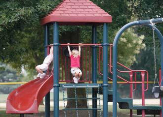
Characteristics catalogued during the parks inventory include – but are not limited to – park

type, park size, parking counts and relative location, pedestrian connectivity, water features, land cover, riparian corridors, development mix, universal accessibility and sports activities.
Parkland designations
The intent of the various parks contained within the City of Dublin was discussed at length during this process and specific definitions for park designations were developed. These park definitions provide logical, defendable positions as the City moves forward with its development plans, the acquisition of new parklands and the approval or disapproval of recreation activities in the various parks.
The following parkland designations apply to Dublin’s parks.
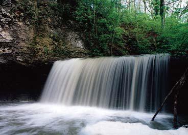
Greenway: a linear open space or natural area typically adjacent to a watercourse. Bike paths, open space and park developments may punctuate the corridor. Greenways serve important roles in raising and maintaining water quality, acting as storm water storage facilities, providing wildlife migratory corridors, and linking neighborhoods and destinations together, thus providing residents and visitors opportunities to socialize and strengthen community bonds. Protection of
This is a SEO version of parks-master-plan. Click here to view full version
« Previous Page Table of Contents Next Page »