This is a SEO version of EAZ PLan. Click here to view full version
« Previous Page Table of Contents Next Page »13 Analyzing Potential for the EAZ
Getting a Feel for the Area
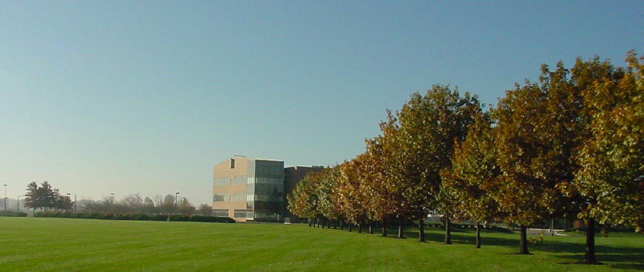
The EAZ includes a wide variety of uses. Ranging from agriculture to older industrial businesses, office or research uses, the EAZ is poised for growth along Dublin’s periphery. The area includes very flat, open land that creates a high visibility with the capability for long viewsheds. The physical character of the EAZ provides opportunities for greater corporate awareness with options for design considerations to appropriately buffer and screen support functions. Located on the western edge of Dublin adjacent to the wide open farm fields of Madison and Union Counties, wind creates an opportunity to consider renewable energies and alternative heating and cooling methods.
Portions of the South Fork Indian Run and Cosgray Creek flow through the EAZ. While these streams are insignificant in appearance and may be periodically dry, they serve an important function for the area’s drainage. As no more than agricultural ditches, portions of the creeks have been tiled over and provide opportunity for relocation and naturalization as amenities. The area’s heavy clays and flat topography foster seasonal ponding and flooding, but are easily addressed with basic engineering. In total, the EAZ provides a blank slate for growth that can help facilitate Dublin’s desire to develop with ease.
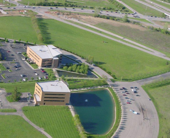
The City of Dublin owns nearly 100 interchange acres ready for development.
This is a SEO version of EAZ PLan. Click here to view full version
« Previous Page Table of Contents Next Page »