This is a SEO version of parks-master-plan. Click here to view full version
« Previous Page Table of Contents Next Page »108

support the COTA system, once the population merits mass transit implementation.
There are safety issues related to the use of bike lanes and bike routes. While placing bikes closer to vehicles may prove to be more efficient for bikers, it also puts them closer to potential vehicle conflicts. In particular, intersections and on-street parking create areas where drivers may not expect bikers.
Drivers in turning vehicles expect to watch for conflicts in front of them and to the left and right, but not approaching from behind. Those in parking vehicles are also not anticipating bikes from the rear and may create similar conflicts and even add the conflict of an open car door. In addition, concerns have been raised that such bike lanes would not serve
recreational or casual users and would receive limited overall use. In some locations, where existing conditions limit the ability to construct bikepaths, bike lanes may provide the only viable option.
Roadways where bike lanes may be the most beneficial are higher volume through routes such as Emerald Parkway, Frantz Road, Woerner-Temple or Avery Road. These are typically considered major or minor arterials. Bike lanes may also be desirable on roads such as Dublin Road, Riverside Drive, Muirfield Drive, Brand Road and Glick Road. These


roads would present other challenges dealing with a shoulder intersection and, in some cases, high vehicle speeds. Road lanes within subdivisions are designed to maximum widths to promote user friendliness without adding restricted-use lanes or widened shoulders.
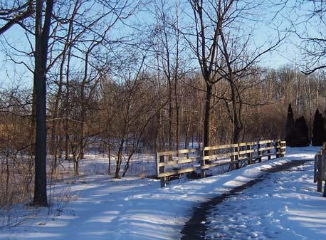
Bike routes can provide important linkages to destinations or provide connections between existing sections of bike paths/bike lanes.
Formalized bike routes are designated using standardizing bike route signage. Currently, there are no such designated routes in Dublin. Streets within subdivisions are at maximum widths to promote user friendliness without adding restricted-use lanes or widened shoulders. Often, these streets are used as bike routes although they are not designated as such.
With approval of the 2007 update of the Community Plan, the need for a multi-modal transportation (bicycle, public transportation, pedestrian system) planning study is warranted. By cross-referencing determined land use plans with a comprehensive transportation plan, more effective bikeway plans could be established. Before the completion of such study, the emphasis will remain on completing sections of the bikeway master plan by the continuation of capital funding and by the development process.
This is a SEO version of parks-master-plan. Click here to view full version
« Previous Page Table of Contents Next Page »