
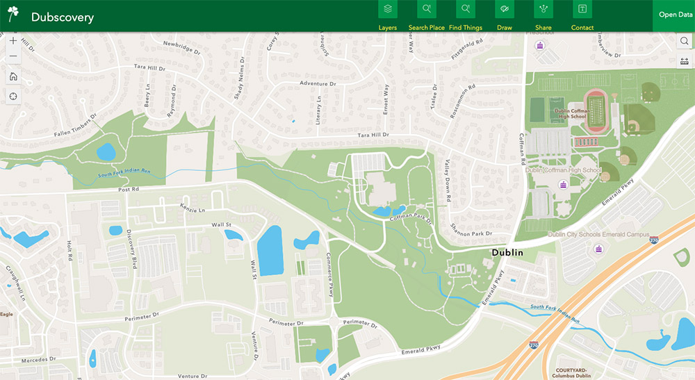
GIS & Maps
Geographic Information Services (GIS)
GIS is responsible for collecting, maintaining and making available all relevant spatial data. We also focus our efforts on customer service and relationships, research and development and proliferating the use of GIS throughout the City and Community to enhance productivity and efficiency.
Please call 614.410.4447 (4GIS) or email GIS@dublin.oh.us for support or to offer suggestions on how we may serve you better.
Feel free to explore and send us feedback. Here are some quick tips:
- It works on your tablet and phone!!
- Click on anything in the map and you’ll most likely get more information
- The search box is powerful (addresses, streets, land owners, parcel numbers, parks, subdivisions…oh my)
- To get different years of aerials – find the “basemap gallery” in the tools in the upper right (hint, 4 square)
- Powerful search/filtering awaits with one of the tools (look for the funnel)
Public Records Request Overview
In order to support faster response and better tracking of requests, the City of Dublin uses JustFOIA to collect, respond to and manage public information requests.
Why JustFOIA?
JustFOIA is a Freedom of Information Act (FOIA) online application that helps streamline the open records request process for the community and improve efficiencies in getting requested information quickly and accurately.
The application lets community members submit requests for all city records, including police reports. Commonly requested information includes accident reports, copies of resolutions and body-camera video.
Mission
We are and always have been a proud local democracy. In our service, we strive to provide the best quality of life and environment in which our residents and businesses can thrive. We seek to ally our proud traditions with the best innovations of the future.
Vision
Dublin, Ohio, is the most sustainable, connected and resilient global city of choice.
Core Values
Integrity, Respect, Communication, Teamwork, Accountability, Positive Attitude & Dedication to Service.
The City of Dublin operates under a set of seven key core values: integrity, respect, communication, teamwork, accountability, positive attitude and dedication to service. Staff members use these seven values as the basis for daily decision-making, including the decisions that go into the budget process.
- Integrity. We are open and honest. We honor our commitments to the community and each other. Our actions are consistent with what we say.
- Respect. We treat our coworkers and members of the community with courtesy and dignity. We embrace diversity and acknowledge the needs, responsibilities and inherent worth of each individual.
- Communication. We maintain an environment in which employees feel free to share ideas and information. We promote open interaction throughout the organization to ensure knowledge and understanding among all employees and our community.
- Teamwork. We create a climate in which all employees work together and support the individual talents and contributions of team members. We celebrate successes and see mistakes as opportunities for growth; we will never willingly let a member of our team fail.
- Accountability. We are responsible to our community and each other for our personal and organizational decisions, actions and performance results. We are committed stewards of our City’s assets and resources.
- Positive Attitude. We focus our efforts on constructive behavior, attitudes and solutions. We promote an environment that people love going to every day – a place where each individual can find a sense of belonging, inspiration, enjoyment and meaning.
- Dedication to Service. We pursue innovation and continuous improvement in all we do. We are committed to efficient, effective and responsive service delivery that makes a difference in the lives of those we serve.
Leadership Philosophy
We are members of an organization that succeeds because of teamwork, dedication, diversity and the innovative spirit of all of our members. Together, we build a culture of trust, service, mutual respect, inclusion and open communication. We hold ourselves mutually accountable to promote and sustain continuous learning and to develop the learning potential that exists in every member of our team.
City Code
The complete Dublin City Code is available online at American Legal City Ordinance website. Information staff at the Dublin branch of the Columbus Metropolitan Library are available to help navigate this website.
Revised Charter of Dublin, Ohio
This Revised Charter, as adopted on March 19, 1996, became effective on July 4, 1996.
Zoning Code
The Zoning Code for Dublin is Chapter 153 of the Dublin Code of Ordinances. The Zoning Code sets land development requirements and establishes different uses within individual districts. Zoning regulations address the physical development of a site, such as building height, lot requirements, setbacks from lot lines, minimum numbers of parking spaces, sign types and sizes, and other related regulations.
City Hall
5555 Perimeter Dr.
Dublin, Ohio 43017
Phone:
614.410.4400
Report an Issue
Request a service or report an Issue.
Tell Dublin
Send us your public input.
Dublin, Ohio, USA
5555 Perimeter Drive
Dublin, Ohio, 43017
Mon – Fri: 8 a.m. – 5 p.m.