Geographic Information Services (GIS)
GIS is responsible for collecting, maintaining and making available all relevant spatial data. We also focus our efforts on customer service and relationships, research and development and proliferating the use of GIS throughout the City and Community to enhance productivity and efficiency.
Please call 614-410-4447 (4GIS) or email GIS@dublin.oh.us for support or to offer suggestions on how we may serve you better.
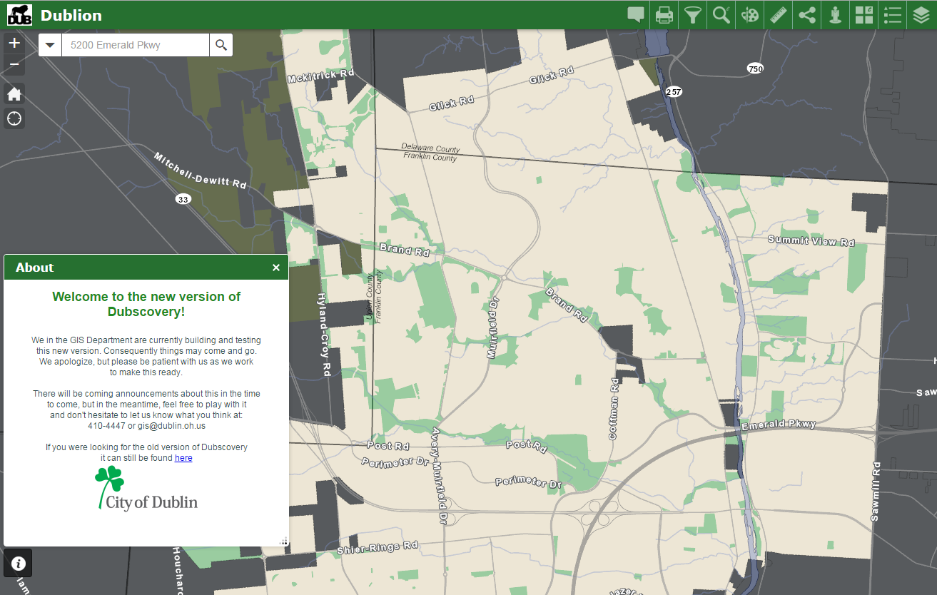
Dubscovery | Open Data-Data Download
Feel free to explore and send us feedback. Here are some quick tips:
- It works on your tablet and phone!!
- Click on anything in the map and you’ll most likely get more information
- The search box is powerful (addresses, streets, land owners, parcel numbers, parks, subdivisions…oh my)
- To get different years of aerials – find the “basemap gallery” in the tools in the upper right (hint, 4 square)
- Powerful search/filtering awaits with one of the tools (look for the funnel)
Address Checker
City of Dublin GIS
GIS is responsible for collecting, maintaining and making available all relevant spatial data. We also focus our efforts on customer service and relationships, research and development and proliferating the use of GIS throughout the City to enhance productivity and efficiency.
Please call 614-410-4GIS (4447) or email GIS@dublin.oh.us for support or to offer suggestions on how we may serve you better.
What is GIS?
A geographic information system (GIS) is a computer-based tool for mapping and analyzing things which have location. It collects various types of information and arranges it in such a manner that makes it easy to find what you’re looking for. GIS technology stores this spatial data in a variety of “layers” that, when linked with databases, provide a complete overview of the overall infrastructure. Information stored in our GIS database can be viewed together, as many different layers as needed, depending on user requirements. These abilities distinguish GIS from other information systems and make it valuable to a wide range of public and private enterprises for explaining events, predicting outcomes, and planning strategies.
What will GIS do for me?
The easy-to-use application will be distributed over the internet using a web browser, which will allow you to interact with maps quickly. Searches can be performed to locate parcels, street intersections, subdivisions, and more. You will be able to zoom and pan around the map, create buffers, print your own maps to scale, and measure distances with ease. The GIS will also be tied to many databases which will allow you to create reports on selected objects.
Disclaimer
The City of Dublin provides the data within these pages for your personal use “as is.” This information is derived from multiple sources which may, in part, not be current, be outside the control of the City of Dublin, and may be of dubious accuracy. The areas depicted by these maps are approximate, and are not necessarily accurate to surveying or engineering standards. The City of Dublin makes no warranty or guaranty as to the content, accuracy, timeliness, or completeness of any of the data provided, and assumes no legal responsibility for the information contained on this map.
Users of this map are notified that the public primary information source should be consulted for verification of the information contained on this map. Please notify the GIS staff of any discrepancies.
Maps
The following maps are available in PDF for printing.

